


Wednesday 6 September 2023
| Distance (km) | 21 kms | |||
| Distance (time) | 7 hrs | |||
| Climb / Descent | 670m / 1380m | |||
| Hard / Soft surface | 40% / 60% | |||
| Landscape |
|
|||
| Weather |
|
|||
|
|
||||
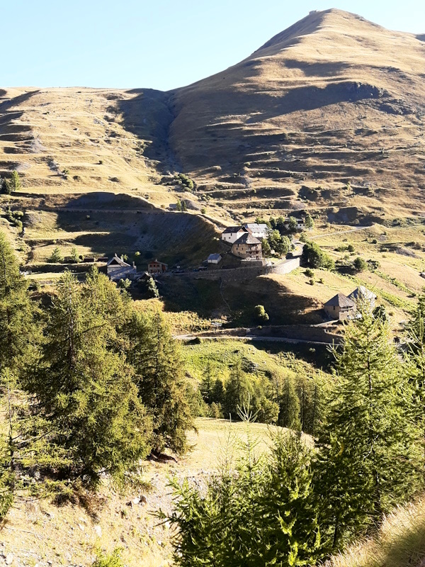
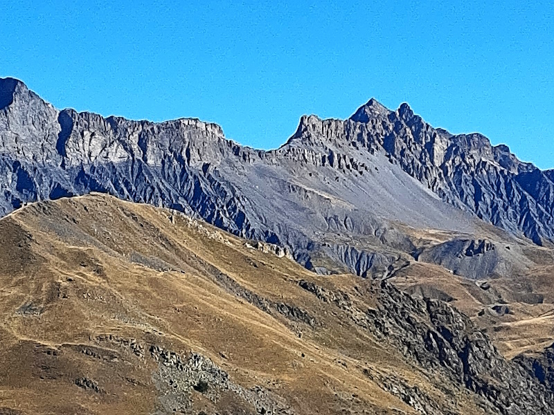
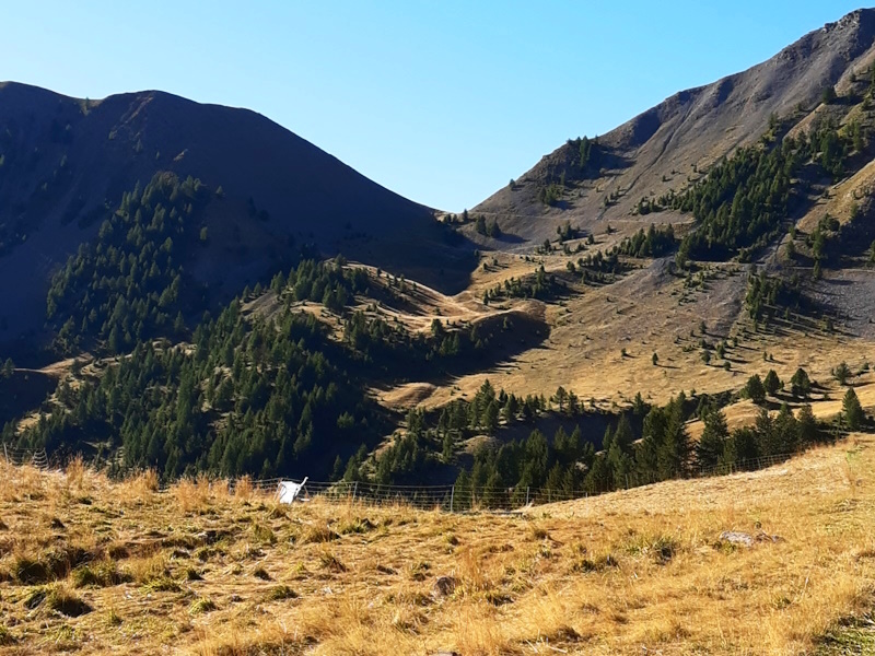
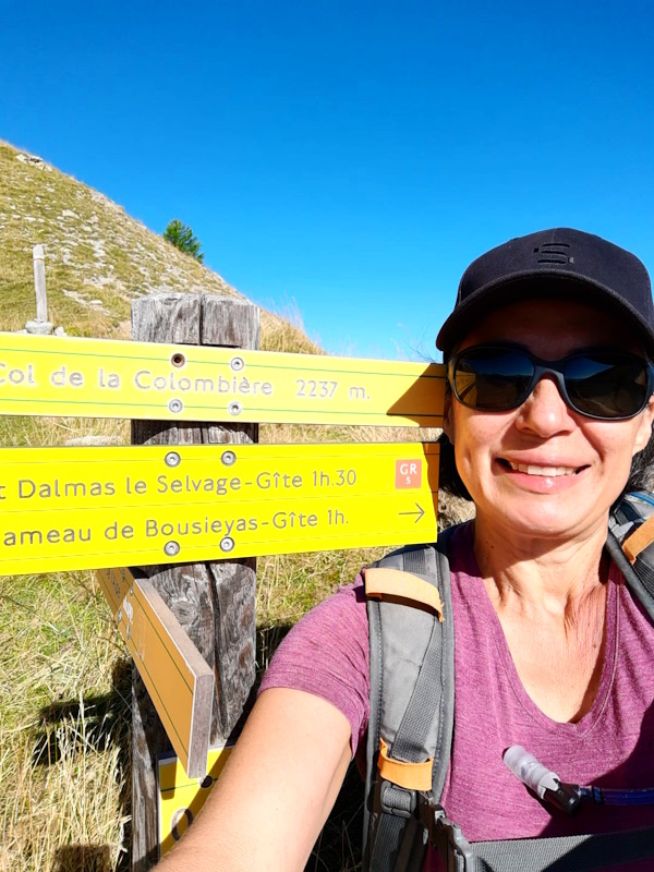
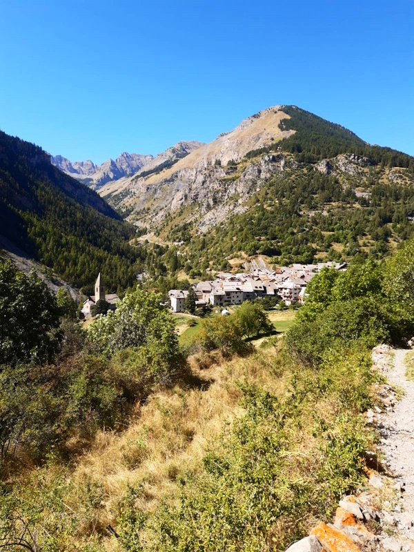
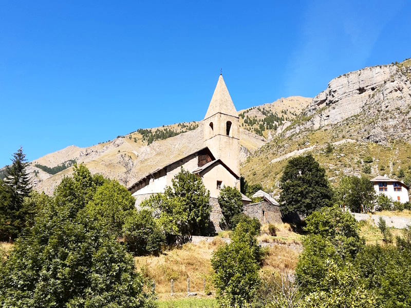
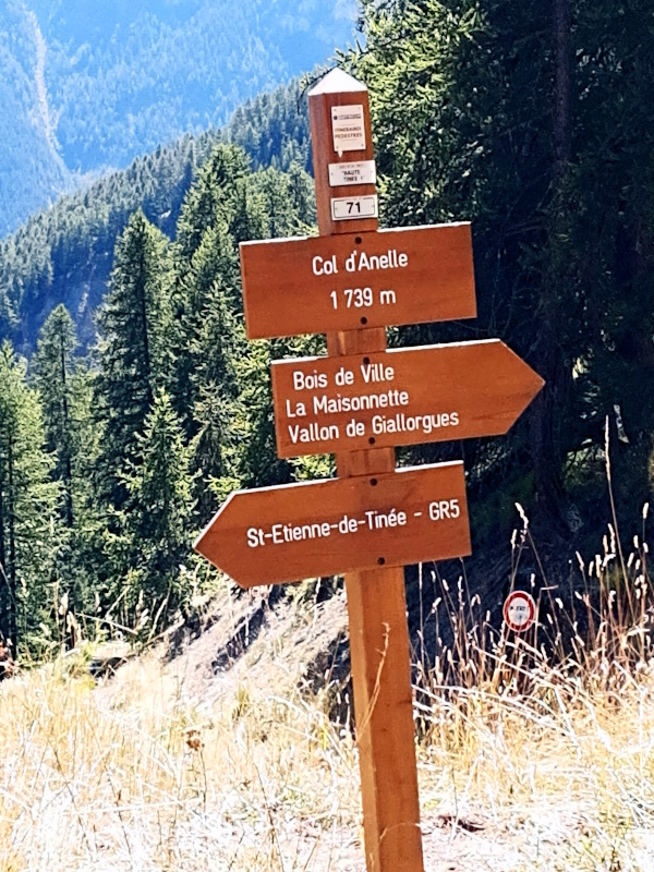
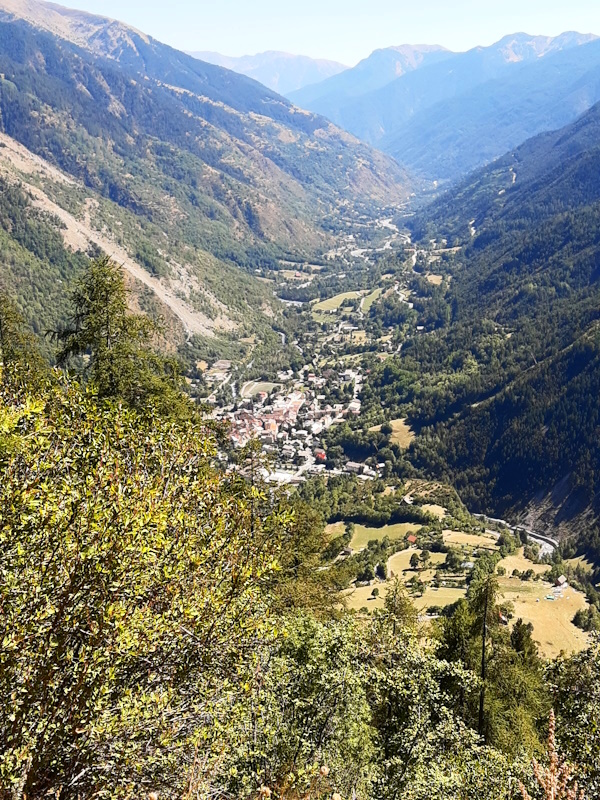
| Yesterday we moved our basecamp from Larche to St.Etienne-de-Tinée from where we are going to repeat our two-car trick. In the morning we drive to the little parking in Bousieyas from where we start our walk. It immediately starts climbing following a forest road. We look back to Bousieyas and even further where we see Pas de la Cavale - from this side it is hard to imagine we passed over that vertical rock wall. While we're admiring the view, we spot a whole marmotte family coming out of their underground hole. It's cute to see them scrabble around. The climb is not so steep and the two times it actuall shortcuts a hairpin in the forest road we decide the just keep following the forest road as the shortcut is steep and heavily eroded. What helps is of course that it is still cool in the morning. At some point we're taken over by a French couple that we great, but they do'nt even look at us, let alone say something back. Strange. Anyway, just under 1.5 hours later we're standing on Col de la Colombiere at 2200m. The other side is not a forest road anymore, but just a narrow walking trail and usually that means a steep and stoney descent. But we have an exception today: the descent is very doable and not steep at all. Of course the price is that it's long: almost 8 kms we have to wind down the mountain to reach the lowest point in St.Dalmas-le-Selvage. In front of the tourist office there is a small area with some benches that no doubt is the petangue area in the evening, but for now it will be our lunch area. We see that the couple that passed us earlier is here as well, and though we look at them there is no sign of greeting, recognition or so. After a 15 minutes break we continue. We have to pass along the side of the church to descend a bit more to the river. There, directly out of the village it immediately goes up again to pass number 2 of today: Col d'Anelle. Again a forest track, but a lot steeper than the first one and it is also not so nice and cool anymore. We're lucky the climb is mostly in the shadow, otherwise we would have been cooked out here. Close to the pass we see that the French couple is again going to pass us. And indeed, when we arrive at the summit and take a short breath, they pass behind us and walk straight through, again without saying anything or at least enjoying the view or something. Maybe they're cyborgs that haven't mastered some of the human skills yet? Anyway, the summit is very unexciting and so without much of a break we walk on. The pass is actually not the highest point, the forest road rolls a bit and actually reaches a slightly higher point further one. Then the forest track goesdown and the official GR5 route regularly short cuts the hairpins with steep stoney parts. We decide to ignore that and just follow the forest track all the way down. The last kilometer is actually tarmac, which is a bit of a torture for our tired feet. Once back on the camping we cannot completely enjoy our rest: we have to get our car back from the parking in Bousieyas by using car number 2 to pick it up. All together a much better walking day than stage 2. |
        |
|||
|
|
||||
Download track BouStE.gpx